
One of our most exciting pieces of work, is supporting our resident action group around Horfield Brook “Let the Brook Breathe.” The group originally started with two local residents who were keen to take action for Horfield Brook. Horfield Brook is a forgotten waterway that starts in Lockleaze, in the valley between the Lockleaze area, and the Horfield Area. The railway also takes advantage of this valley.

Where is Horfield Brook?
Horfield Brook used to run from Lockleaze to St Werburghs, joining the spring water from Boiling Wells, and from there heading into the river Frome. In the 1950s a huge culvert (a vast underground pipe called the Northern Storm Interceptor) was built from the Frome to the Avon Gorge to take Frome’s flood water away from the city. The Lockleaze section of the Horfield Brook was culverted into this from Muller Road, so now our section of the brook goes straight into the Avon at the Gorge.
The brook starts underground around the Landseer Avenue southern greenspace, where Really Wild Lockleaze have been working with residents to make more space for nature. Once a babbling brook running in fields, it now starts in a pipe underground, and is fed by the runoff water from the roads in Lockleaze – sadly today, these are its head waters!

Worse than that, when it rains it takes the overflow from the sewerage system, which take the water from most of the rooves in Lockleaze. When it rains, this overwhelms the sewerage system, so their overflow is fed into the Brook via “Combined Sewage Overflows” (CSOs). Horfield Brook has 3 CSOs pouring sewage into the brook within Lockleaze, including the one with the most effluent in Bristol.
The brook can first be seen overground in a ditch on the Bonnington walk greenspace, between the new development and the Lockleaze Community Orchard. Sadly, these days you can smell it before you see it. The first CSO enters the brook underground around Landseer Avenue, but its constant whiffy smell on Bonnington Walk, even on dry days, means that there are probably misconnections, and it is likely to have sewage going into it continuously, even when it has not been raining.

It next appears above ground on the other side of the railway on the old gas site which is currently a ‘meanwhile site’ housing caravans. It flows into the old small-holdings below the gas site, where there is another constantly running CSO, which can be seen from the footpath running from Dovercourt Road to the Railway footbridge. Its constant flow means that it is likely to be having constant sewage running into it, as well as flooding it when it rains.
The brook then travels down behind the Dovercourt Road allotments into the woodland behind the new Brooklands Development, staying overground for several hundred meters. This woodland area is quiet and beautiful, with many large mature trees, and open woodland glades. This woodland is about to be opened up to the public by Goram Homes, who are reinstating a footpath through from Brooklands to the railway bridge. This is worth celebrating as reconnecting Lockleaze residents to this forgotten waterway is one of the ‘Let the Brook Breathe’s aims, but it is also concerning with the current poor water quality that children may play there.
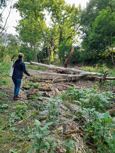

The brook has a small culverted section in the woodland, and then is culverted under the carparks around the Petherbridge Way, reappearing under the “Brook Bridge” in the Dovercourt Greenspace. It then runs into an increasingly steep valley made by the roads and carparks being built up on either side, and disappears into a culvert at Muller Road towards the Northern Storm Interceptor via a culvert to St Werburghs.
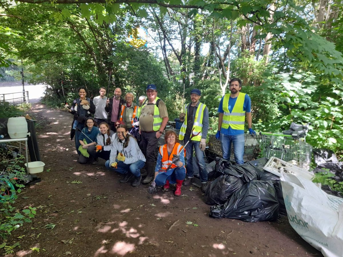
It is here at Muller Road that the worst CSO in Bristol regularly pours sewage into the Brook, again running constantly, telling us that there are many plumbing misconnections and constant sewage entering the brook. This steep valley is also a flytipping hotspot that has not been addressed by the council, but which was cleared in June by volunteers.